
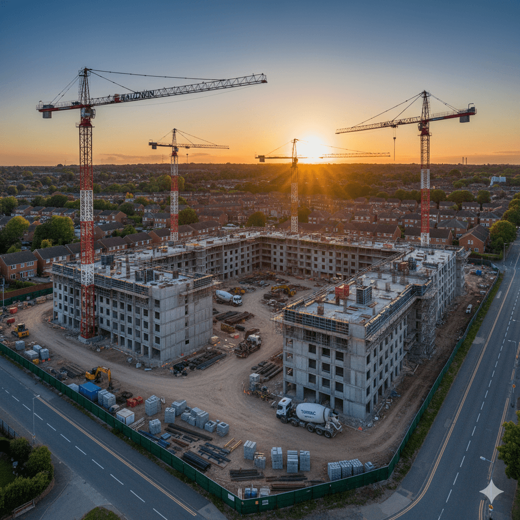
Drone construction progress monitoring over a building site

    Construction Progress Monitoring

    Regular drone flights that give you a clear, dated record of how a site is progressing, visit after visit.

    Drone Site Progress Monitoring

    On a live construction site, an up-to-date aerial view is worth a lot: it shows progress at a glance, settles questions about what was done and when, and keeps everyone, from site team to client, on the same page. We fly your site on a regular schedule and hand back dated, consistent imagery you can compare from one visit to the next. Set it up monthly, weekly or around key milestones. As a CAA-registered and fully insured operator, we cover sites across the UK from a Cumbria base.

    How It Works

    1
    Agree a Schedule

    We set a cadence that suits the programme, monthly, weekly or milestone-based, and the angles to capture each time.

    2
    Consistent Capture

    Each visit is flown the same way, so the imagery lines up and is genuinely comparable over time.

    3
    Process & Compare

    We turn the imagery into a clear record, and where useful an orthomosaic, showing what's changed since last time.

    4
    Report

    You receive the dated deliverables digitally, ready to share with the team, client or funder.

    Who It's For

    Main contractors tracking progress across a site
    Developers and project managers reporting to clients and funders
    Quantity surveyors and commercial teams needing a dated record
    Housebuilders monitoring multi-plot sites
    Public-sector and infrastructure project teams
    Anyone who needs to prove what was done, and when

    Why Monitor by Drone?

    A Dated Record

    Every visit is timestamped, so there's no argument about what the site looked like and when.

    Comparable Over Time

    Consistent flights make it easy to see change from one month to the next.

    Better Reporting

    A clear aerial view is far quicker to share with a client or funder than a site walk.

    Safe & Unobtrusive

    Captured from the air with no need to stop work or send anyone up high.

    What You Receive

    Dated, high-resolution aerial imagery of the whole site each visit
    An orthomosaic per visit where useful for measurement and comparison
    A clear progress record showing change since the last flight
    Everything delivered digitally, ready to share

    Frequently Asked Questions

    As often as the project needs, monthly is common, but we can fly weekly, at key milestones, or on demand. It's set up as a repeat service so each visit is comparable to the last.

    Dated aerial imagery of the whole site and, where useful, an orthomosaic and a short progress record you can share with your team and client, delivered digitally.

    Yes, that's the point of it. We agree a schedule to suit your programme, for example monthly, and fly the site on that cadence for the life of the project. It's priced per project, so get in touch for a quote.

    We're based in Cumbria and travel UK-wide. Send us the site and we'll confirm.

    Areas We Cover

    Based in Cumbria, we travel across the UK for survey and inspection work. We regularly operate throughout Cumbria and the Lake District, across the North West and North East, and up to the Scottish border, and take on projects nationwide.

    CumbriaLake DistrictNorth West EnglandNorth East EnglandScottish BorderUK-wide

    Monitoring a Site?

    Contact us today for a free quote on a one-off flight or a monthly package. We're CAA-registered, fully insured and cover the whole UK from a Cumbria base.