
What Is a Drone Topographic Survey?
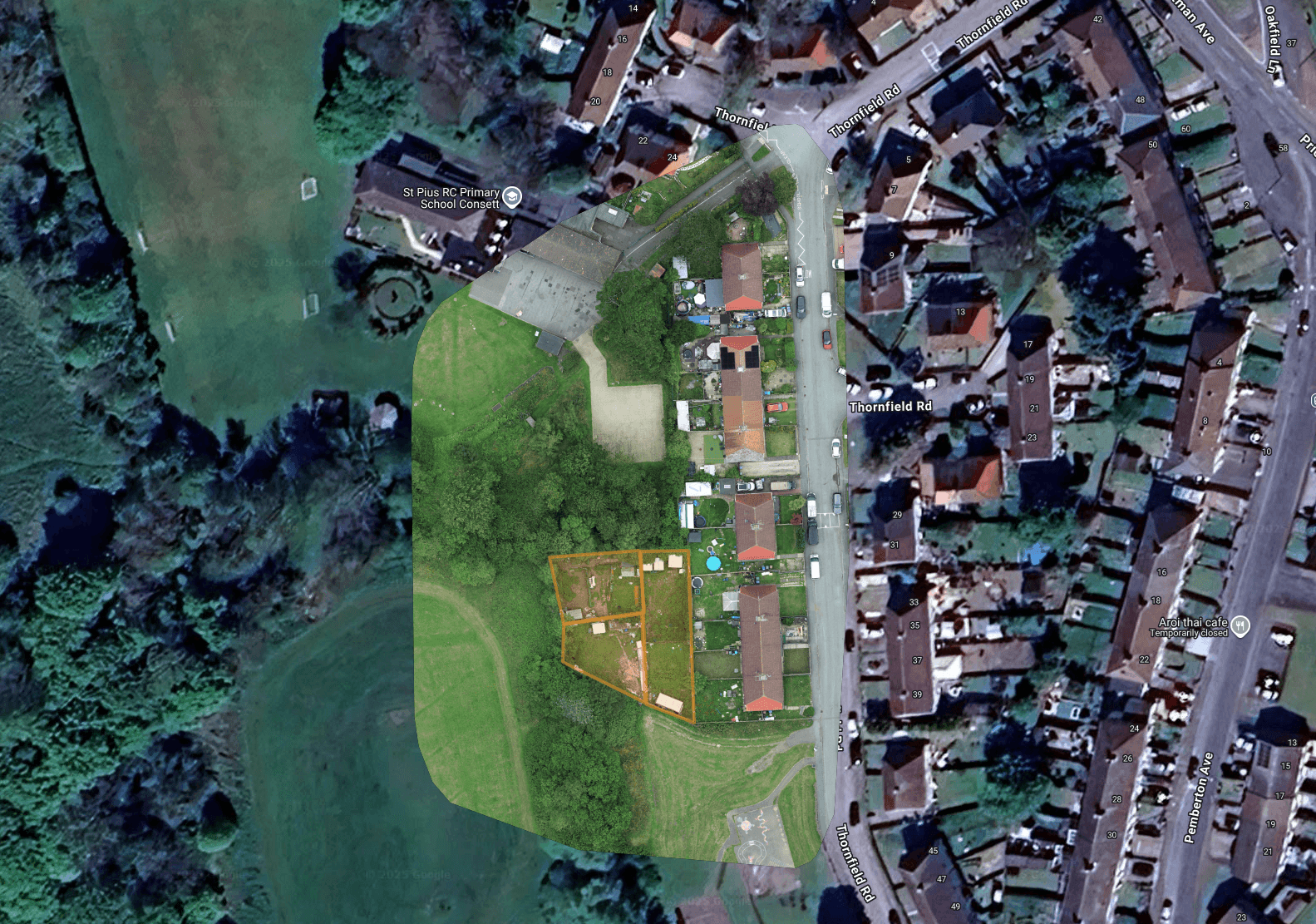
A topographic survey, also called a measured survey, records the shape and features of a piece of land: levels, slopes, boundaries, access and existing structures. Capturing it by drone means we can survey a site quickly and safely from the air, then process the imagery into a scaled, measurable record you can use for design, planning applications and earthworks. It suits sites that would be slow, awkward or unsafe to walk with traditional survey equipment. As a CAA-registered and fully insured operator, we cover sites across the UK from a Cumbria base.
How the Drone Process Works
We plan the flight and the ground sample distance (GSD) for the detail you need. Where a project needs higher accuracy we can add ground control to suit.
The drone flies an automated grid, capturing hundreds of overlapping, geotagged images across the whole site.
The imagery is processed photogrammetrically into an orthomosaic and elevation data, ready to measure and model.
You receive the finished survey outputs digitally, in standard formats your design team can work with.
Who It's For
Why Choose a Drone Topographic Survey?
A drone captures many acres in a single flight, far quicker than walking a site with a total station.
Steep, overgrown or hazardous ground is captured from the air, with no one exposed to the risk.
You get the whole surface, not just the points someone had time to pick up on foot.
Levels, distances and areas taken from a scaled model your design team can build on.
What You Receive
Frequently Asked Questions
Areas We Cover
Based in Cumbria, we travel across the UK for survey and inspection work. We regularly operate throughout Cumbria and the Lake District, across the North West and North East, and up to the Scottish border, and take on projects nationwide.